

The storm’s sustained winds slowed to 145 mph on Wednesday, but forecasters warned of dangerous rain, mudslides and rough surf.
Hurricane Polo churned off Mexico’s southwestern coast on Wednesday as a powerful Category 4 storm, spreading rain across coastal areas even as it remained offshore.
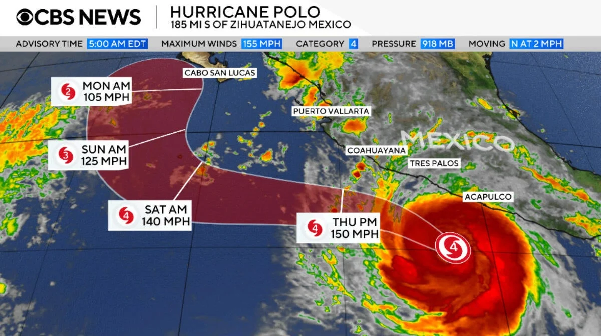
The storm wasn’t expected to make landfall, according to the National Hurricane Center. Polo’s maximum sustained winds dropped to 145 mph on Wednesday afternoon, down from a Category 5 high of 180 mph on Tuesday. Forecasters said the storm will fluctuate in strength over the next few days while remaining a “very powerful major hurricane.”
As of Wednesday morning, Polo was centered about 150 miles off Zihuatanejo, a coastal resort city in Guerrero. After sitting stationary for several hours, it began crawling northwest at 5 mph. The storm pushed hurricane-force winds out to 40 miles from its center and tropical storm-force winds up to 105 miles.
Warnings and coastal hazards
The Mexican government issued a tropical storm warning from Tecpan de Galeana in Guerrero to Punta San Telmo in Michoacán, where tropical storm conditions were expected to begin Wednesday. A tropical storm watch was posted from Punta San Telmo to Playa Perula in Jalisco, where those conditions could arrive by Thursday.
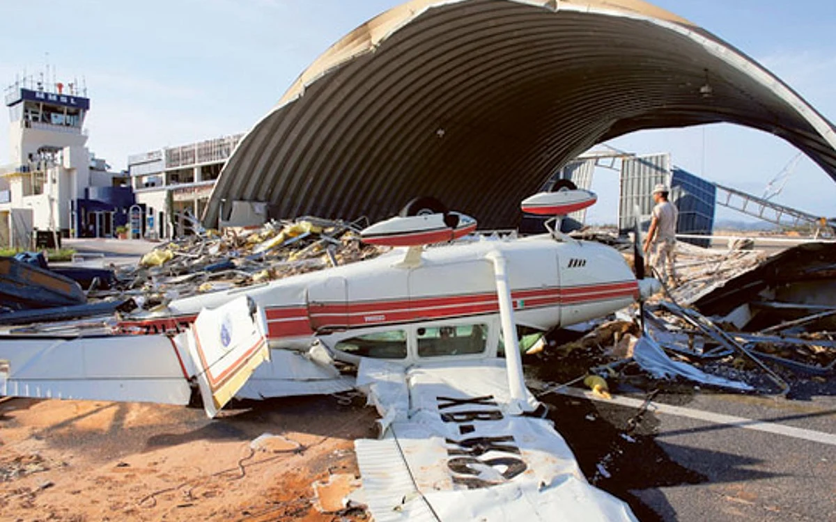
Heavy rain “may produce life-threatening flooding and mudslides, especially in areas of steep terrain,” the hurricane center warned. Parts of Guerrero and Michoacán could see 3 to 6 inches of rainfall through Thursday, with isolated spots reaching 8 inches. Coastal stretches of Oaxaca, Colima and Jalisco were forecast to get between 2 and 4 inches. Forecasters also warned of rough surf and rip currents that could worsen flooding along the southwestern shoreline.
Record-setting growth
Polo reached its peak after rapid intensification earlier in the week. Wind speeds jumped from 45 mph early Monday morning to 150 mph at around the same time Tuesday, a shift the hurricane center described as “truly remarkable.”
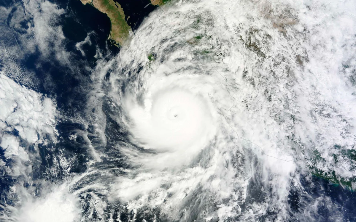
Polo’s central pressure made it the second-strongest hurricane on record in the Eastern Pacific, behind Hurricane Patricia in 2015. Its maximum winds tied 2009’s Hurricane Rick for the third-strongest on record in the region. Forecasters noted that strong El Niño conditions have fueled Pacific storm activity this year through warmer ocean water, moist air and reduced wind shear.
Polo remained far south of the Baja California peninsula on Wednesday, though long-range forecasts showed it could turn toward the peninsula early next week.
Photo by Osni Shelby on Unsplash